
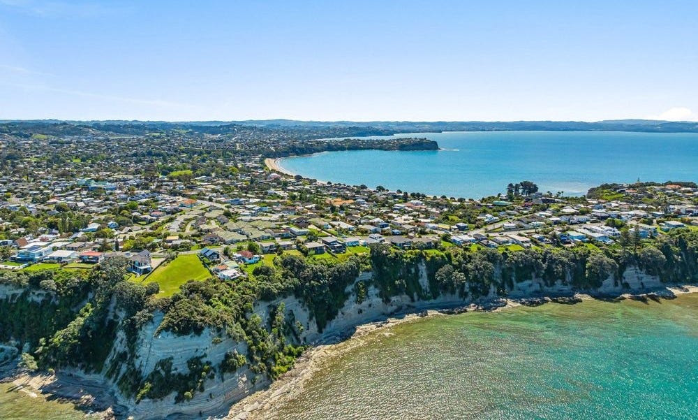
There’s something powerful about a single line on a coastal hazard map.
I’m seeing it more often in my work. A property falls within a coastal erosion or inundation overlay, and that line quickly starts to carry weight. It raises questions about safety, future value, insurance, and what might or might not be possible on the land.
In parts of the Auckland region in New Zealand, I’m seeing this translate into real caution. Properties newly captured by mapped hazard zones are being put on the market, with owners wanting clarity on what that line means for the future.
In other regions, the response can be quite different. In parts of the Bay of Plenty, buyers are often aware a property sits within a mapped hazard zone and still choose to proceed. The focus shifts away from the map itself and toward understanding what the risk actually means in practice.
Same type of line. Different decisions.
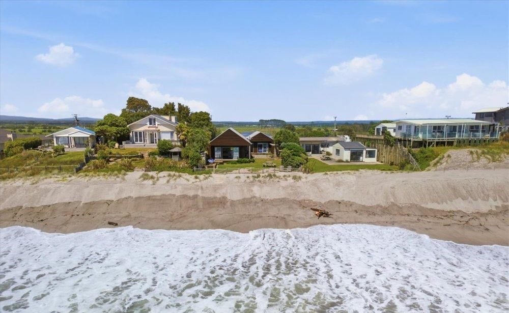
The map itself hasn’t changed.
Coastal hazard maps are typically developed at a regional or district scale. They’re designed to indicate where risk may exist across large areas, which means they inevitably simplify local conditions. They don’t fully capture site-specific factors like shoreline behaviour, sediment dynamics, or small-scale variations in exposure.
That’s not a limitation so much as a reflection of their purpose.
But when a broad-scale line is interpreted as a precise, site-specific boundary, it can start to drive decisions in ways that weren’t necessarily intended.
The question is often framed as whether a map is “right” or “wrong”.
In practice, a more useful question is:
What does this mapped risk mean at this specific site?
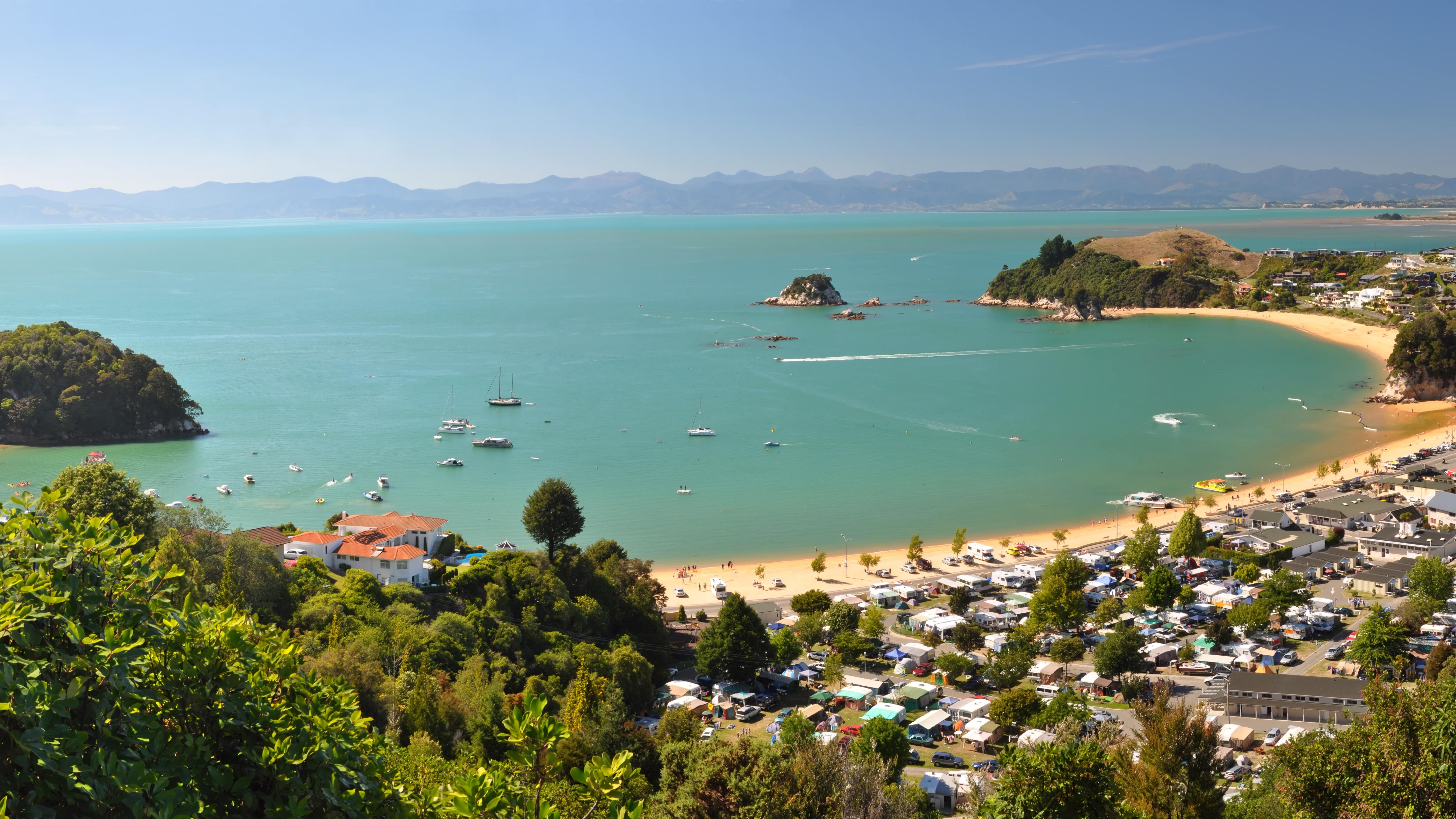
What’s becoming clear is that these maps are no longer just technical tools.
They’re shaping perception, influencing property decisions, and increasingly feeding into how people think about adaptation.
The map is doing its job by signalling risk.
But it’s only the starting point.
At PdR Coastal I help property owners, planners, and communities understand coastal risk, evaluate coastal adaptation options, and make informed decisions that remain robust over time.
— Peter de Ruiter, Coastal Scientist & Consultant
PdR Coastal
